
Weather Route Planner
Plan your drive with the power of live weather and road data. Get route suggestions based on forecasted weather, road conditions, radar, and real-time weather alerts. Avoid hazards before you even start the engine.




Scan to install Weather Navigation
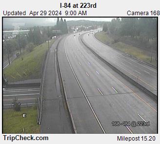
I-84 West Interstate Road Conditions
Updated Aug 23, 2026 11:40 PM UTC · 3 states · Mostly dry, wet in places
Lowest 69°F near Portland, Oregon · Highest wind 16 mph near Portland, Oregon
Use Weather Navigation for your next Road Trip
Interstate 84 West runs 770 miles from Portland, Oregon, to a junction with I‑80 near Echo, Utah, a major east–west route across the Pacific Northwest and the northern Rockies. It passes through Portland, The Dalles, Boise, Twin Falls, and Ogden.
Weather data from Aug 23, 2026 11:40 PM UTC
Dry
Dry
4 current reports along the route. The 2 most serious are listed below. Always check with the responsible state DOT before setting off.
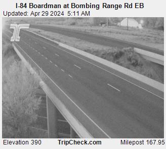
Major Road construction on I-84 Westbound from MM (168) to MM (165). All Lanes Intermittent. 10/27/2024 7:00 PM to 11/16/2026 7:00 PM Mon, Tue, Wed, Thu, Fri, Sat, Sun: Active all day Width Restriction: 22ft Speed Restriction: 65mph Activities: Use Caution.
Road construction on I-84 Eastbound from MM (165) to MM (168). All Lanes Intermittent. 7/27/2023 7:00 AM to 11/20/2026 7:00 PM Mon, Tue, Wed, Thu, Fri, Sat, Sun: Active all day Width Restriction: 22ft Speed Restriction: 65mph Activities: Use Caution.
23 minutes ago
23 minutes ago

22 minutes ago
22 minutes ago
22 minutes ago
22 minutes ago
Innovative IT solutions provider
Car Play Weather Navigation is at the forefront of merging real-time weather data with seamless navigation. Our app, designed for iOS and Apple CarPlay, specializes in providing live weather radar updates to ensure your safety and journey efficiency. Experience the confidence of driving with the most advanced, weather-informed route planning at your fingertips.
Your journey, enlightened by weather intelligence, begins here.

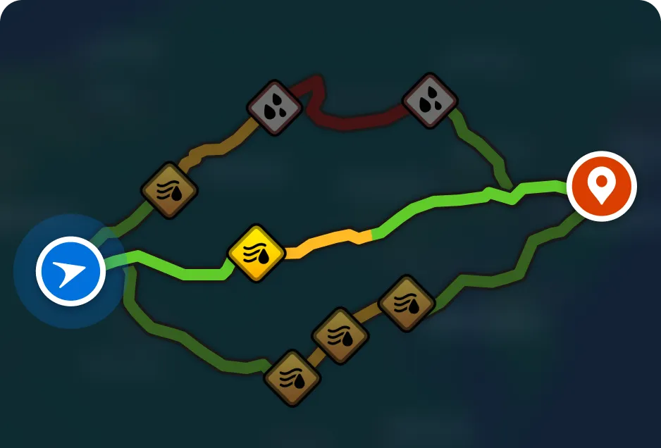
Plan your drive with the power of live weather and road data. Get route suggestions based on forecasted weather, road conditions, radar, and real-time weather alerts. Avoid hazards before you even start the engine.
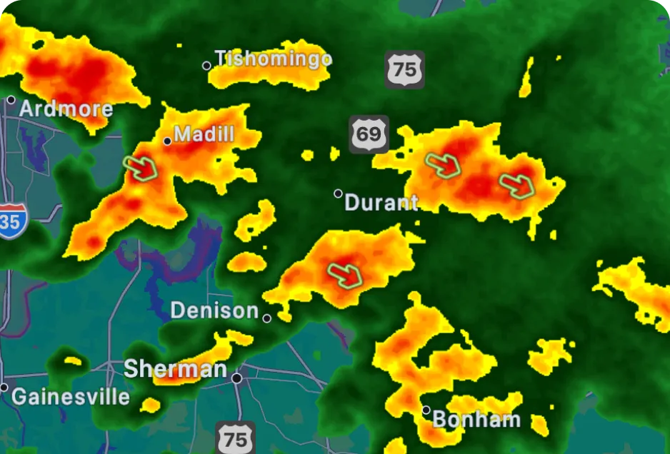
No more second-guessing the forecast. Whether it’s clear skies or an incoming storm, stay prepared and in control, knowing every mile of your journey is planned with the latest weather insights.
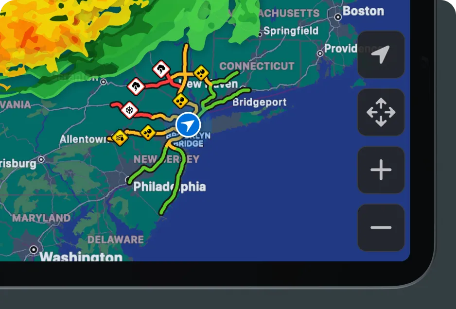
No destination? No problem. Automatically see nearby road conditions in a 100 km radius using color-coded indicators: Green (Safe), Yellow (Caution), Red (Danger). Perfect for spontaneous drives.
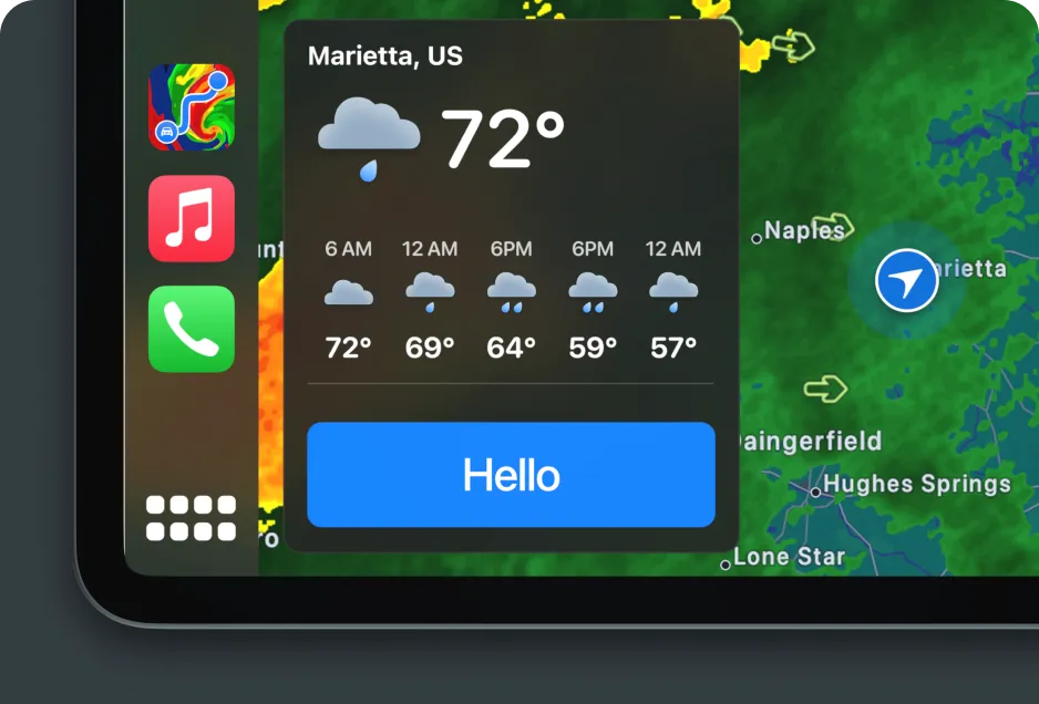
Your personal weather assistant – every time you start your car. Get an instant, friendly forecast update with all-day insights tailored to your location – from the moment you start your drive.
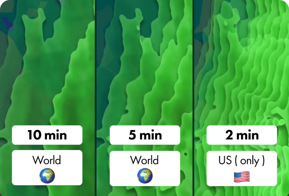
Stay updated faster than the storm. Radar updates every 5 minutes globally – and every 2 minutes in the US for Premium users. Get the freshest data possible, wherever you are.
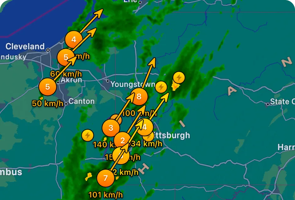
Customize your radar and track severe storms in real time. Choose layers like temperature, wind, or precipitation, and overlay storm cells to see hail, tornadoes, and rotation with speed and direction – all on your car display.