
The app this map came from
Weather Navigation carries the same radar and road-surface data on Apple CarPlay and Android Auto, with a weather-aware route planner, storm-cell tracking and radar that refreshes every two minutes over the US.




Scan to install Weather Navigation
I-35 Interstate Road Conditions
Radar, DOT cameras and live pavement conditions along I-35 from Minnesota to Texas — plus closures, road work and the drive broken down into 6 state-by-state stretches.
Updated Oct 9, 2026 3:07 AM UTC · 6 states · Mostly dry, wet in places
Lowest 51°F near Minneapolis, Minnesota · Highest wind 9 mph near Overland Park, Kansas
Use Weather Navigation for your next Road Trip
Interstate 35 (I-35) runs from Laredo, Texas at the Mexican border to Duluth, Minnesota on Lake Superior, providing a major north–south corridor through the central United States. It passes through cities such as Laredo, San Antonio, Austin, Dallas–Fort Worth, Oklahoma City, Wichita, Kansas City, Des Moines, Minneapolis–St. Paul, and Duluth. Route 35 splits into an east and a west leg twice, around Dallas–Fort Worth and again around Minneapolis–Saint Paul.
Weather data from Oct 9, 2026 3:07 AM UTC
Dry
Dry
Dry
Measured state by state, I-35 runs 1,570 miles south to north from Laredo, Texas to Duluth, Minnesota, crossing 6 states. Its longest stretch is 505 miles across Texas; its shortest is 115 miles in Missouri.
| State | Miles | Share | Cities and mile markers |
|---|---|---|---|
| Minnesota | 260 | 17% | Minneapolis 105 · Saint Paul 108 · Duluth 257 |
| Iowa | 219 | 14% | Des Moines 85 |
| Missouri | 115 | 7% | Kansas City 4 |
| Kansas | 235 | 15% | Wichita 46 · Overland Park 227 |
| Oklahoma | 236 | 15% | Oklahoma City 127 |
| Texas | 505 | 32% | San Antonio 155 · Austin 235 · Dallas 429 |
Mile markers count from each state's southern line and start again at the next one, which is how most states number their exits as well. They are measured along the same road geometry these pages draw, so they land within a mile or two of the posted markers. A toll road that runs its own continuous numbering is the exception — on the New York Thruway the posts continue from New York City — and there the figure is how far into the state the place is rather than the number on the sign. Distances are measured state by state, never across a gap.
23 current reports along the route. The 8 most serious are listed below. Always check with the responsible state DOT before setting off.
Right Lane Closed due to road construction. Working hours are 05:00 PM to 10:00 AM.
Between IA 175 and US 20 (7 miles north of the Ellsworth area). The right lane is closed due to road construction work. A lane is closed intermittently. From 5:00PM CDT to 10:00AM CDT on Saturday and from 6:00PM CDT to 9:00AM CDT on Sunday, Monday, Tuesday, Wednesday and Thursday and from 7:00PM CDT to 9:00AM CDT on Friday and from 9:00AM CDT to 10:00AM CDT on Thursday. Until November 24, 2026 at about 10:00AM CDT. Comment: Jefferson RCE (800-251-2705) - Hamilton County
Between Exit 94: 36th Street (Ankeny) and the South Skunk River (1 mile north of the Huxley area). Both shoulders closed due to road construction work. Expect changing traffic patterns. Until December 31, 2026 at about 5:00PM CDT. Full schedule below: • June 5, 2023, 12:00PM - December 31, 5:00PM Comment: Marshalltown RCE (800-251-2706) - Polk County **Intermittent Shoulder Closure**
At Entrance ramp from Northeast 36th Street. Entrance ramp closed due to road construction work. Detour in operation. Follow the Iowa DOT-recommended detour around the closure. See map for detour(s). Starting today at 8:00PM CDT until November 20, 2026 at about 6:00AM CDT. Full schedule below: • April 15, 8:00PM - November 20, 6:00AM Comment: Marshalltown RCE (800-251-2706) - Polk County
Between Exit 208: County Road A38 and the Minnesota Border (17 to 21 miles north of the Clear Lake area). Road construction. Intermittent lane closure. Width limit in effect. Width limit 20'0". Starting July 13, 2026 at 7:00AM CDT until October 15, 2026 at about 3:00PM CDT. Full schedule below: • July 13, 7:00AM - October 15, 3:00PM Comment: Mason City RCE (800-373-7344) - Worth County
Winter reporting is off for the season. The state DOT feeds this page reads for Minnesota, Iowa, Missouri and Kansas run from October 15 to April 15; outside that window they change only as needed. Our own forecast below runs year-round.
Reports for Minnesota, Iowa, Missouri and Kansas come from each state's DOT, entered by maintenance staff and describing what is on the pavement, not the forecast; the state pages carry each DOT's terms and notices. No DOT winter report is read here yet for Oklahoma and Texas. Always check with the responsible state DOT before setting off.
Summaries fetched Oct 8, 2026 7:02 AM CDT
Summaries fetched Oct 8, 2026 12:03 PM UTC
Summaries fetched Oct 8, 2026 7:04 AM CDT
Summaries fetched Oct 8, 2026 7:04 AM CDT
Summaries fetched Oct 8, 2026 7:06 AM CDT
Summaries fetched Oct 8, 2026 12:08 PM UTC
Photo from — last answered 3 hours ago, so this is the last frame we have
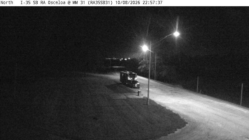
Photo from — last answered 3 hours ago, so this is the last frame we have
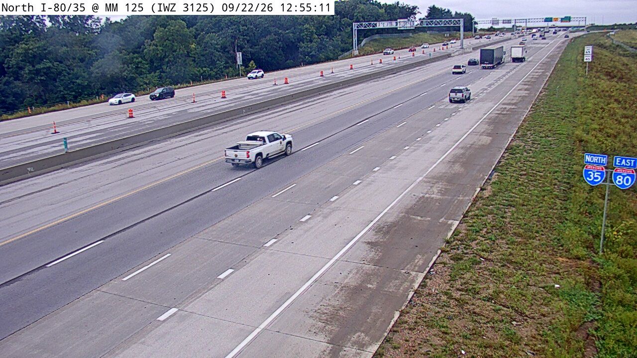
Photo from — last answered 3 hours ago, so this is the last frame we have
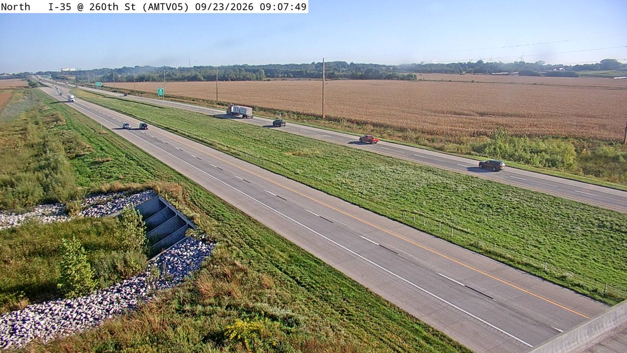
Photo from — last answered 3 hours ago, so this is the last frame we have
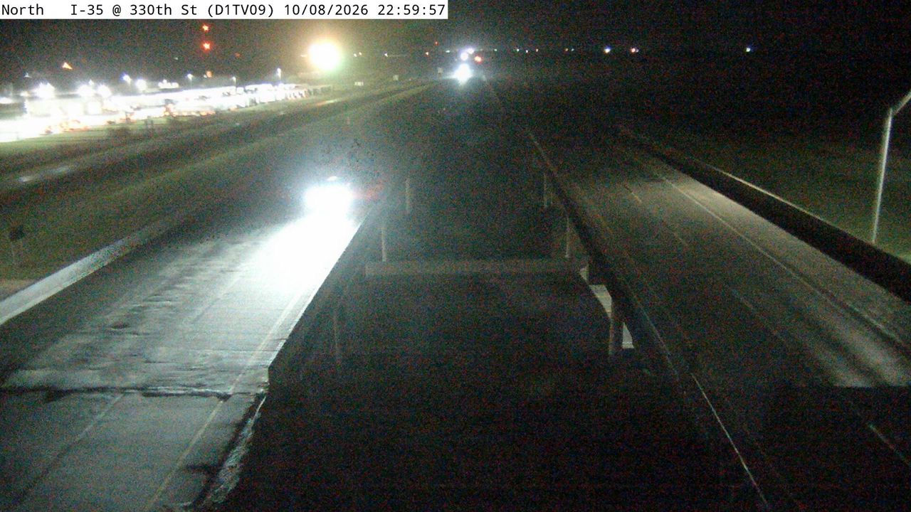
Photo from — last answered 3 hours ago, so this is the last frame we have
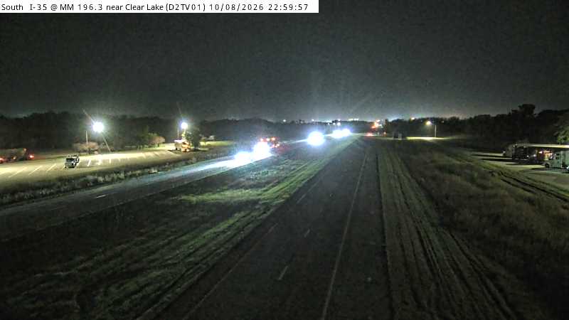
Photo from — last answered 3 hours ago, so this is the last frame we have
The same live radar and road-surface data as this map, on your phone and on Apple CarPlay or Android Auto.

Weather Navigation carries the same radar and road-surface data on Apple CarPlay and Android Auto, with a weather-aware route planner, storm-cell tracking and radar that refreshes every two minutes over the US.