I-5 Interstate Road Conditions

I-5

I-5 Road Conditions & Weather

Radar, DOT cameras and live pavement conditions along I-5 from California to Washington — plus closures, road work and the drive broken down into 3 state-by-state stretches.

Updated Sep 10, 2026 11:53 PM UTC · 3 states · Mostly dry

Lowest 69°F near Tacoma, Washington · Highest wind 17 mph near Sacramento, California

Use Weather Navigation for your next Road Trip

Interstate 5 (I-5) runs from the Mexican border at San Ysidro in San Diego, California, to the Canadian border at Blaine, Washington, forming the main north–south backbone of the U.S. West Coast. It passes through major cities such as San Diego, Los Angeles, Sacramento, Portland, and Seattle. The two climbs that decide a winter drive on Route 5 are the Grapevine at 4,144 ft and Siskiyou Summit at 4,310 ft.

  • Road system: Interstate Highway System
  • Year of construction: 1970
  • Length: 1,381 miles

Temperature

Wind Speed

Rain Precip.

Coverage

Weather data from Sep 10, 2026 11:53 PM UTC

Up to 144 hours

Lowest temp.

69°F

Highest temp.

105°F

Highest wind

17 mph

Pressure

29.71-30.04 inHg

Current I-5 Conditions by State

California I-5 road conditions

Dry

  • San Diego 89°F · 8 mph wind · Dry
  • Los Angeles 97°F · 8 mph wind · Dry
  • Sacramento 104°F · 11 mph wind · Dry

Official California road conditions (QuickMap) ↗

Oregon I-5 road conditions

Dry

  • Portland 76°F · 7 mph wind · Dry
  • Medford 94°F · 15 mph wind · Dry
  • Salem 82°F · 10 mph wind · Dry

Official Oregon road conditions (tripcheck.com) ↗

Washington I-5 road conditions

Dry

  • Vancouver 76°F · 7 mph wind · Dry
  • Seattle 70°F · 3 mph wind · Dry
  • Tacoma 71°F · 7 mph wind · Dry

Official Washington road conditions (wsdot.com) ↗

I-5 End to End: States, Miles and Mile Markers

I-5 runs 1,381 miles south to north from San Diego, California to Blaine, Washington, crossing 3 states. Its longest stretch is 797 miles across California; its shortest is 276 miles in Washington.

State Miles Share Cities and mile markers
California 797 58% San Diego 16 · Los Angeles 134 · Sacramento 519
Oregon 308 22% Medford 29 · Eugene 193 · Salem 255 · Portland 301
Washington 276 20% Vancouver 2 · Tacoma 134 · Seattle 166

It climbs The Grapevine at 4,144 ft and Siskiyou Summit at 4,310 ft, where the weather at the summit is not the weather on the approach.

Mile markers count from each state's southern line and start again at the next one, which is how most states number their exits as well. They are measured along the same road geometry these pages draw, so they land within a mile or two of the posted markers. A toll road that runs its own continuous numbering is the exception — on the New York Thruway the posts continue from New York City — and there the figure is how far into the state the place is rather than the number on the sign. Distances are measured state by state, never across a gap.

I-5 Closures & Road Blocks Today

18 current reports along the route, including 2 full closures. The 2 most serious are listed below. Always check with the responsible state DOT before setting off.

  • Road closed

    I-5 closed

    Mainline closure. Work: Spill-Accident Clean up. Lanes closed: All. Near Castaic, Los Angeles County.

    Castaic • North • CA • Ongoing

  • Lanes blocked

    I-5 off ramp closure

    Off Ramp closure. Work: Striping Operation. Lanes closed: All. Near Dunsmuir, Shasta County.

    Dunsmuir • North • CA • Until Sep 11, 3:01 AM

Weather conditions overview along the road I-5

California I-5 weather conditions

Summaries fetched Sep 10, 2026 5:00 AM PDT

Los Angeles, CA weather

  • In Los Angeles, CA, the current weather is characterized by clear skies and a temperature of 77°F
  • The humidity level is at 63%, and the wind is light, blowing from the southeast at 1 mph
  • Visibility is excellent at 9.9 miles
  • An extreme heat warning is in effect from 8:09 AM on September 9, 2026, until 8:00 PM on September 10, 2026, indicating significant risks associated with high temperatures
  • With the current conditions, it is important to take precautions against the heat, especially during outdoor activities.

Sacramento, CA weather

  • Current weather conditions in Sacramento, CA indicate a clear sky with a temperature of 73°F
  • The humidity level is at 44%, and the dew point is 49.8°F
  • Winds are light, blowing from the southeast at 1.7 mph
  • Visibility is good, reaching up to 9.9 miles
  • A heat advisory is currently in effect, which began on September 9 at 10:37 AM and will remain active until September 10 at 10:00 PM
  • This advisory suggests that outdoor activities may be impacted due to elevated temperatures.

Oregon I-5 weather conditions

Summaries fetched Sep 10, 2026 12:06 PM UTC

Portland, OR weather

  • Current weather conditions in Portland, OR indicate a temperature of 59°F with a relative humidity of 84%
  • The wind is calm, blowing from the northwest at 1 to 2 mph
  • The atmospheric pressure is 30.06 inHg, and visibility is good at 9.9 miles
  • The weather is clear with no precipitation or snowfall reported at this time.

Medford, OR weather

  • The current weather in Medford, OR, shows clear conditions with a temperature of 59°F and a humidity level of 69%
  • The wind is light, blowing from the northwest at 0.6 mph
  • The visibility is good at 9.9 miles
  • Atmospheric pressure is measured at 30.06 inHg
  • There are no active weather alerts at this time, and no precipitation is occurring.

Washington I-5 weather conditions

Summaries fetched Sep 10, 2026 5:07 AM PDT

Seattle, WA weather

  • Current weather conditions in Seattle, WA indicate a temperature of 59.7°F with a relative humidity of 84%
  • The wind is calm, blowing from the east at 2 to 4 mph
  • The atmospheric pressure is measured at 30.06 inHg
  • Visibility is good at 16 km (9.9 mi), and the weather is clear
  • There are no significant weather alerts at this time.

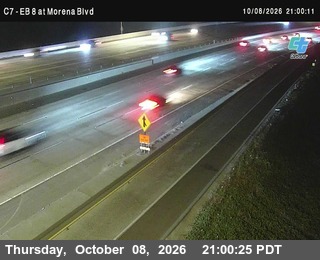
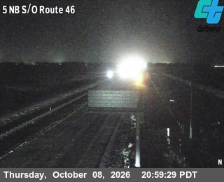
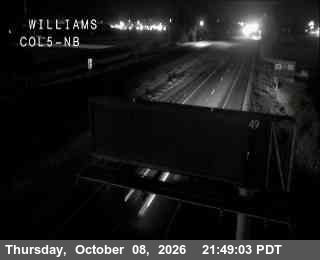
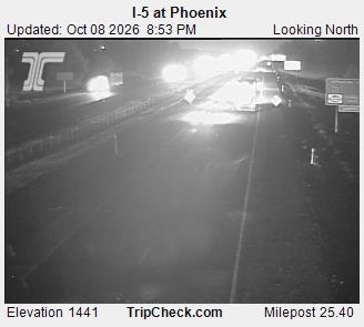
I-5 Traffic Cameras

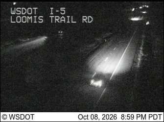
I-5 Washington - Vancouver at 134th

2 hours ago

Photo from camera: I-5 Washington - Vancouver at 134th

I-5 Washington - Vancouver at 29th

2 hours ago

Photo from camera: I-5 Washington - Vancouver at 29th

I-5 at Lake Creek - South of ORE228

2 hours ago

Photo from camera: I-5 at Lake Creek - South of ORE228

I-5 at North Albany

2 hours ago

Photo from camera: I-5 at North Albany

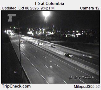
(C 129) I-5 : Just North Of I-8_B, San Diego

2 hours ago

Photo from camera: (C 129) I-5 : Just North Of I-8_B, San Diego

(C 165) I-5 : Just North Of I-8 _ T, San Diego

2 hours ago

Photo from camera: (C 165) I-5 : Just North Of I-8 _ T, San Diego

I-5 Road Weather FAQ

Is I-5 closed right now?
Yes — 2 full closures are reported on I-5 as of Sep 11, 2026 12:47 AM UTC. 16 lane closures, roadworks or restrictions are in force. They are listed under closures and road blocks on this page.
What are I-5 road conditions today?
The map on this page colors the route along I-5 by what is on the pavement right now — dry, wet, slush, snow or ice — from radar and surface data, last updated Sep 10, 2026 11:53 PM UTC. Right now temperatures run from 69°F to 105°F and the strongest wind is 17 mph.
How long is Interstate 5, and which states does it cross?
I-5 runs 1,381 miles south to north, from San Diego, California to Blaine, Washington, through 3 states: California, Oregon and Washington. The longest stretch is 797 miles across California. Mile markers restart at each state line, so San Diego is around mile 16 in California.
Are there mountain passes on I-5?
Yes — 2 on this site: The Grapevine at 4,144 ft and Siskiyou Summit at 4,310 ft. Each has its own summit page.
Are there live traffic cameras on I-5?
Yes. This page shows 6 live views on I-5 from the state transportation departments' own camera feeds, further down the page, refreshed each time you load it.
How often are I-5 road conditions updated?
The road surface and weather layers are rebuilt whenever this page is opened with data more than ten minutes old, and refreshed on a schedule in between, so nothing here is more than about two hours old even on a road nobody has looked at. Closures and road blocks are re-imported from the state 511 feeds every fifteen minutes, and the written state-by-state summaries are refreshed daily. Every section on this page carries the time its data was fetched.

Weather Road Planner for car and mobile

The same live radar and road-surface data as this map, on your phone and on Apple CarPlay or Android Auto.

Road Planner on Phone

The app this map came from

Weather Navigation carries the same radar and road-surface data on Apple CarPlay and Android Auto, with a weather-aware route planner, storm-cell tracking and radar that refreshes every two minutes over the US.


See everything the app does