
The app this map came from
Weather Navigation carries the same radar and road-surface data on Apple CarPlay and Android Auto, with a weather-aware route planner, storm-cell tracking and radar that refreshes every two minutes over the US.




Scan to install Weather Navigation
I-70 Interstate Road Conditions
Radar, DOT cameras and live pavement conditions along I-70 from Maryland to Utah — plus closures, road work and the drive broken down state by state.
Updated Oct 9, 2026 3:07 AM UTC · 10 states · Mostly dry
Lowest 43°F near Vail, Colorado · Highest wind 13 mph near Vail, Colorado
Use Weather Navigation for your next Road Trip
Interstate 70 (I-70) runs more than 2,150 miles from Cove Fort, Utah, to Baltimore, Maryland, serving as a key transcontinental route through the heart of the United States . It passes through important cities such as Denver, Kansas City, St. Louis, Indianapolis, Columbus, and Baltimore.
Weather data from Oct 9, 2026 3:07 AM UTC
Dry
Dry
Official Illinois road conditions (Getting Around Illinois) ↗
Dry
Dry
Dry
Measured state by state, I-70 runs 2,173 miles west to east from Cove Fort, Utah to Baltimore, Maryland, crossing 10 states. Its longest stretch is 450 miles across Colorado; its shortest is 14 miles in West Virginia.
| State | Miles | Share | Cities and mile markers |
|---|---|---|---|
| Maryland | 93 | 4% | Hagerstown 29 · Frederick 54 · Baltimore 93 |
| Pennsylvania | 170 | 8% | Pittsburgh 28 (19 mi off) |
| West Virginia | 14 | 1% | — |
| Ohio | 225 | 10% | Columbus 100 |
| Indiana | 156 | 7% | Indianapolis 82 |
| Illinois | 160 | 7% | Effingham 98 |
| Missouri | 250 | 12% | Kansas City 2 · Columbia 127 · Saint Louis 249 |
| Kansas | 423 | 19% | Salina 252 · Topeka 362 · Overland Park 420 |
| Colorado | 450 | 21% | Grand Junction 32 · Vail 177 · Denver 275 |
| Utah | 232 | 11% | Green River 165 |
It climbs Vail Pass at 10,662 ft and Eisenhower Tunnel at 11,158 ft, where the weather at the summit is not the weather on the approach.
Mile markers count from each state's western line and start again at the next one, which is how most states number their exits as well. They are measured along the same road geometry these pages draw, so they land within a mile or two of the posted markers. A toll road that runs its own continuous numbering is the exception — on the New York Thruway the posts continue from New York City — and there the figure is how far into the state the place is rather than the number on the sign. Distances are measured state by state, never across a gap. West Virginia carries too little of the road for a page of its own — under the 25 miles that separate two markers on the map above — so it is named without a link.
53 current reports along the route, including 2 full closures. The 8 most serious are listed below. Always check with the responsible state DOT before setting off.
Between Exit 256: Lookout Mountain and Exit 259: Morrison Road (near Genesee) at Mile Point 257. Truck ramp occupied. Slower speeds are advised.
Winter reporting is off for the season. The state DOT feeds this page reads for Illinois, Missouri and Kansas run from October 15 to April 15; outside that window they change only as needed. Our own forecast below runs year-round.
Reports for Illinois, Missouri and Kansas come from each state's DOT, entered by maintenance staff and describing what is on the pavement, not the forecast; the state pages carry each DOT's terms and notices. No DOT winter report is read here yet for Maryland, Pennsylvania, West Virginia, Ohio, Indiana, Colorado and Utah. Always check with the responsible state DOT before setting off.
Summaries fetched Oct 8, 2026 6:01 AM MDT
Summaries fetched Oct 8, 2026 7:02 AM CDT
Summaries fetched Oct 8, 2026 12:02 PM UTC
Summaries fetched Oct 8, 2026 12:03 PM UTC
Summaries fetched Oct 8, 2026 8:03 AM EDT
Summaries fetched Oct 8, 2026 7:04 AM CDT
Summaries fetched Oct 8, 2026 8:06 AM EDT
Summaries fetched Oct 8, 2026 8:07 AM EDT
Summaries fetched Oct 8, 2026 6:08 AM MDT
Summaries fetched Oct 8, 2026 8:09 AM EDT
Photo from
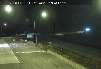
Photo from — last answered 11 minutes ago, so this is the last frame we have

Photo from
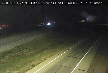
Photo from
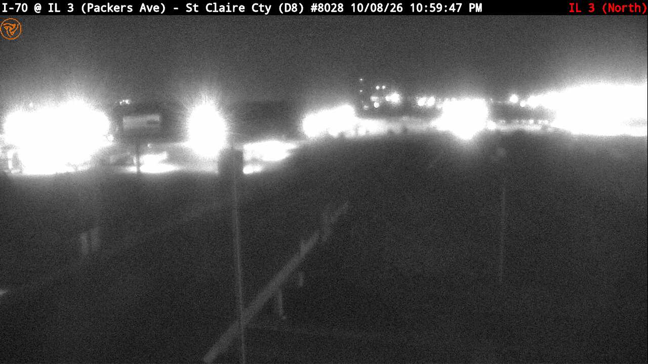
Photo from
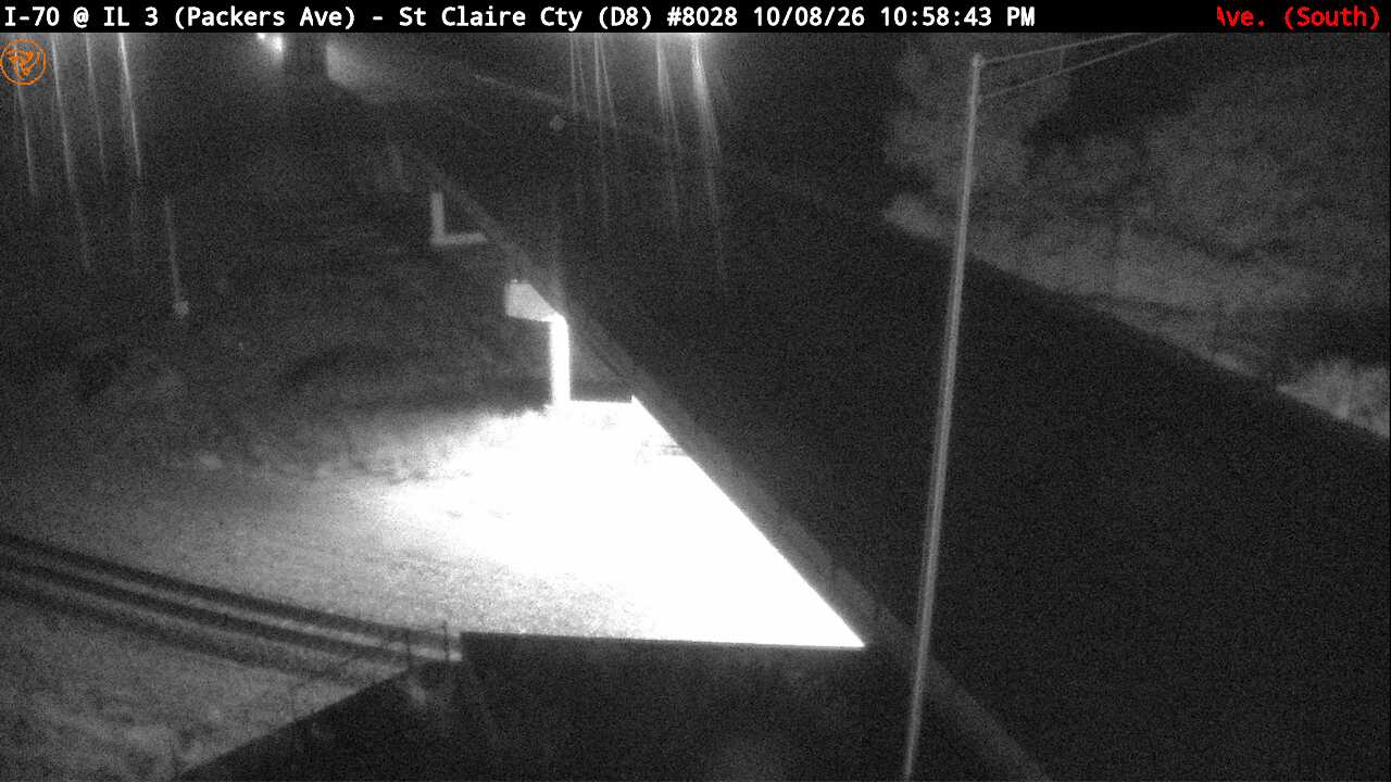
Photo from
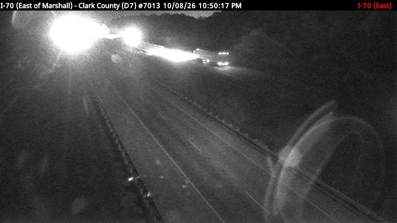
The same live radar and road-surface data as this map, on your phone and on Apple CarPlay or Android Auto.

Weather Navigation carries the same radar and road-surface data on Apple CarPlay and Android Auto, with a weather-aware route planner, storm-cell tracking and radar that refreshes every two minutes over the US.