
The app this map came from
Weather Navigation carries the same radar and road-surface data on Apple CarPlay and Android Auto, with a weather-aware route planner, storm-cell tracking and radar that refreshes every two minutes over the US.




Scan to install Weather Navigation
I-80 Interstate Road Conditions
Radar, DOT cameras and live pavement conditions along I-80 from California to New Jersey — plus closures, road work and the drive broken down into 11 state-by-state stretches.
Updated Oct 9, 2026 3:09 AM UTC · 11 states · Mostly dry, wet in places
Lowest 44°F near Stroudsburg, Pennsylvania · Highest wind 15 mph near San Francisco, California
Use Weather Navigation for your next Road Trip
Interstate 80 (I-80) is the second-longest Interstate Highway in the United States, stretching 2,900 miles from San Francisco, California, to Teaneck, New Jersey, and passing through key Midwestern states like Illinois, Iowa, Nebraska, and Pennsylvania. Winter closures on Route 80 come under three separate traction laws, California's, Utah's and Wyoming's, and the bulletins that report them spell the road I80.
Weather data from Oct 9, 2026 3:09 AM UTC
Dry
Dry
Dry
Dry
Dry
Official Illinois road conditions (Getting Around Illinois) ↗
Dry
Dry
Dry
Measured state by state, I-80 runs 2,899 miles west to east from San Francisco, California to Teaneck, New Jersey, crossing 11 states. Its longest stretch is 454 miles across Nebraska; its shortest is 68 miles in New Jersey.
| State | Miles | Share | Cities and mile markers |
|---|---|---|---|
| California | 201 | 7% | San Francisco 0 · Sacramento 83 |
| Nevada | 410 | 14% | Reno 14 · Elko 302 |
| Utah | 197 | 7% | Salt Lake City 120 |
| Wyoming | 402 | 14% | Laramie 312 · Cheyenne 360 |
| Nebraska | 454 | 16% | North Platte 176 · Grand Island 313 · Lincoln 398 · Omaha 453 |
| Iowa | 306 | 11% | Des Moines 135 · Cedar Rapids 236 (20 mi off) · Davenport 295 |
| Illinois | 163 | 6% | Chicago 155 (21 mi off) |
| Indiana | 152 | 5% | South Bend 73 |
| Ohio | 236 | 8% | Toledo 64 · Cleveland 161 (13 mi off) · Akron 176 (12 mi off) |
| Pennsylvania | 310 | 11% | Clearfield 118 · Scranton 280 (24 mi off) · Stroudsburg 305 |
| New Jersey | 68 | 2% | Jersey City 66 (10 mi off) · Newark 66 (11 mi off) |
It climbs Donner Pass at 7,239 ft, where the weather at the summit is not the weather on the approach.
Mile markers count from each state's western line and start again at the next one, which is how most states number their exits as well. They are measured along the same road geometry these pages draw, so they land within a mile or two of the posted markers. A toll road that runs its own continuous numbering is the exception — on the New York Thruway the posts continue from New York City — and there the figure is how far into the state the place is rather than the number on the sign. Distances are measured state by state, never across a gap.
27 current reports along the route, including 3 full closures. The 8 most serious are listed below. Always check with the responsible state DOT before setting off.
Closed due to night time construction work.
Closed Closed
At Exit 239A ramp to I-380 S; US 218 S; IA 27 S. Exit ramp closed due to night time construction work. Starting tomorrow at 9:00PM CDT until Friday, at about 3:00AM CDT. Full schedule below: • October 8, 9:00PM - October 9, 3:00AM
Between Exit 46: County Road M47 and Exit 34: County Road M16 (near Avoca). Road construction. Intermittent lane closure. From 6:00PM CDT to 6:00AM CDT on Monday, Tuesday, Wednesday and Thursday. Starting October 5, 2026 at 6:00PM CDT until October 9, 2026 at about 6:00AM CDT. Comment: Council Bluffs RCE (800-579-2719) - Pottawattamie County
Between Exit 76: County Road N54 (Adair) and Exit 86 (3 miles east of the Casey area). Right lane closed due to night time construction work. Intermittent lane closure. From 6:00PM CDT to 6:00AM CDT on Sunday, Monday, Tuesday, Wednesday and Thursday. Starting Sunday at 6:00PM CDT until October 9, 2026 at about 6:00AM CDT. Comment: Creston RCE (877-226-8109) - Adair County
Between Exit 284: County Road Y40 and I-74 (near Davenport). Both shoulders closed due to road construction work. Until December 31, 2026 at about 3:00PM CDT. Full schedule below: • August 10, 6:00AM - December 31, 3:00PM Comment: Davenport RCE (800-262-5145) - Scott County **Intermittent Shoulder Closure and Ramps Included**
Between IA 148 (4 miles west of the Adair area) and Exit 97: County Road P48 (2 miles west of the Dexter area). Night time construction work. Intermittent lane closure. From 6:00PM CDT to 6:00AM CDT on Sunday, Monday, Tuesday, Wednesday and Thursday. Starting September 27, 2026 at 6:00PM CDT until November 19, 2026 at about 6:00AM CDT. Comment: Creston RCE (877-226-8109) - Cass and Adair Counties
Between Exit 29: County Road L66 and Exit 34: County Road M16 (3 miles west of the Shelby area). The right lane is closed because of night time construction work. From 6:00PM CDT to 6:00AM CDT on Sunday, Monday, Tuesday, Wednesday and Thursday. Until November 12, 2026 at about 6:00AM CDT. Comment: Council Bluffs RCE (800-579-2719) - Pottawattamie County
Winter reporting is off for the season. The state DOT feeds this page reads for Nebraska, Iowa and Illinois run from October 15 to April 15; outside that window they change only as needed. Our own forecast below runs year-round.
Reports for Nebraska, Iowa and Illinois come from each state's DOT, entered by maintenance staff and describing what is on the pavement, not the forecast; the state pages carry each DOT's terms and notices. No DOT winter report is read here yet for California, Nevada, Utah, Wyoming, Indiana, Ohio, Pennsylvania and New Jersey. Always check with the responsible state DOT before setting off.
Summaries fetched Oct 8, 2026 5:01 AM PDT
Summaries fetched Oct 8, 2026 7:02 AM CDT
Summaries fetched Oct 8, 2026 7:02 AM CDT
Summaries fetched Oct 8, 2026 12:02 PM UTC
Summaries fetched Oct 8, 2026 12:05 PM UTC
Summaries fetched Oct 8, 2026 8:05 AM EDT
Summaries fetched Oct 8, 2026 5:06 AM PDT
Summaries fetched Oct 8, 2026 8:06 AM EDT
Summaries fetched Oct 8, 2026 8:07 AM EDT
Summaries fetched Oct 8, 2026 6:08 AM MDT
Summaries fetched Oct 8, 2026 6:09 AM MDT
Photo from
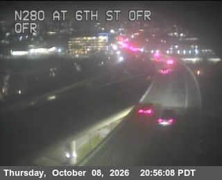
Photo from
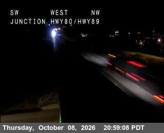
Photo from
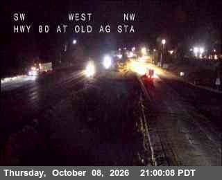
Photo from
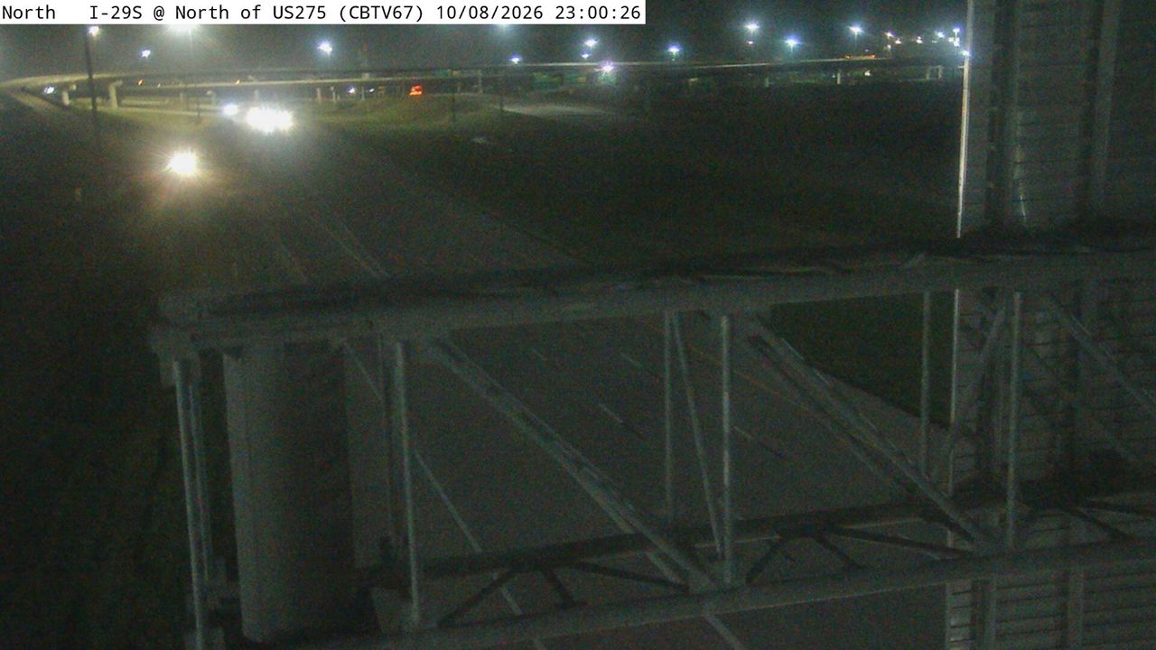
Photo from
Photo from
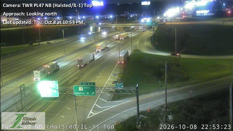
The same live radar and road-surface data as this map, on your phone and on Apple CarPlay or Android Auto.

Weather Navigation carries the same radar and road-surface data on Apple CarPlay and Android Auto, with a weather-aware route planner, storm-cell tracking and radar that refreshes every two minutes over the US.