
The app this map came from
Weather Navigation carries the same radar and road-surface data on Apple CarPlay and Android Auto, with a weather-aware route planner, storm-cell tracking and radar that refreshes every two minutes over the US.




Scan to install Weather Navigation
I-90 Interstate Road Conditions
Radar, DOT cameras and live pavement conditions along I-90 from Massachusetts to Washington — plus closures, road work and the drive broken down into 13 state-by-state stretches.
Updated Oct 9, 2026 3:11 AM UTC · 13 states · Mostly dry, wet in places
Lowest 47°F near Rochester, New York · Highest wind 11 mph near Sioux Falls, South Dakota
Use Weather Navigation for your next Road Trip
Interstate 90 (I-90) is the longest transcontinental freeway in the U.S., stretching over 3,000 miles from Seattle, Washington, to Boston, Massachusetts . This vital east-west corridor passes through major cities like Chicago and Cleveland and crosses diverse landscapes, including the Rocky Mountains and the Great Plains.
Weather data from Oct 9, 2026 3:11 AM UTC
Dry
Damp
Dry
Official Illinois road conditions (Getting Around Illinois) ↗
Dry
Dry
Dry
Measured state by state, I-90 runs 3,074 miles west to east from Seattle, Washington to Boston, Massachusetts, crossing 13 states. Its longest stretch is 549 miles across Montana; its shortest is 46 miles in Pennsylvania.
| State | Miles | Share | Cities and mile markers |
|---|---|---|---|
| Massachusetts | 137 | 4% | Pittsfield 2 (10 mi off) · Springfield 47 · Worcester 95 · Boston 133 |
| New York | 385 | 13% | Buffalo 69 · Rochester 135 · Syracuse 213 · Albany 352 |
| Pennsylvania | 46 | 1% | Erie 27 |
| Ohio | 243 | 8% | Toledo 64 · Cleveland 171 |
| Indiana | 156 | 5% | South Bend 77 |
| Illinois | 107 | 3% | Rockford 16 · Chicago 93 |
| Wisconsin | 187 | 6% | Madison 138 |
| Minnesota | 274 | 9% | Rochester 216 |
| South Dakota | 411 | 13% | Rapid City 58 · Sioux Falls 398 |
| Wyoming | 208 | 7% | Gillette 127 |
| Montana | 549 | 18% | Missoula 104 · Bozeman 304 · Billings 446 |
| Idaho | 74 | 2% | Coeur d'Alene 13 |
| Washington | 297 | 10% | Seattle 0 · Spokane 277 |
It climbs Snoqualmie Pass at 3,022 ft and Lookout Pass at 4,711 ft, where the weather at the summit is not the weather on the approach.
Mile markers count from each state's western line and start again at the next one, which is how most states number their exits as well. They are measured along the same road geometry these pages draw, so they land within a mile or two of the posted markers. A toll road that runs its own continuous numbering is the exception — on the New York Thruway the posts continue from New York City — and there the figure is how far into the state the place is rather than the number on the sign. Distances are measured state by state, never across a gap.
14 current reports along the route, including 1 full closure. The 8 most serious are listed below. Always check with the responsible state DOT before setting off.
Incident due to incident.
Major Bridge construction on I-90 Eastbound from MM (39) to MM (41). 1 Left lane closed. 3/2/2026 7:00 AM to 11/2/2026 6:00 PM Mon, Tue, Wed, Thu, Fri, Sat, Sun: Active all day Width Restriction: 12ft 6in Speed Restriction: 45mph Activities: Mandatory Speed Limit in Force.
Reduced To One Lane due to reduced to one lane. There is a weight limit in effect. Width limit 335 ft.
Major Bridge construction on I-90 Westbound from MM (39) to MM (41). 1 Right lane closed. 3/2/2026 7:00 AM to 11/2/2026 6:00 PM Mon, Tue, Wed, Thu, Fri, Sat, Sun: Active all day Width Restriction: 12ft 6in Length Restriction: 110ft Speed Restriction: 45mph Activities: Mandatory Speed Limit in Force.
Crash due to crash.
Bridge Maintenance Operations due to bridge maintenance operations. There is a weight limit in effect. Width limit 427 ft.
Bridge construction on I-90 Eastbound from MM (20) to MM (21). 9/8/2026 8:00 AM PT to 11/6/2026 8:00 AM PT Mon, Tue, Wed, Thu, Fri, Sat, Sun: Active all day Width Restriction: 14ft
Winter reporting is off for the season. The state DOT feeds this page reads for Illinois, Wisconsin, Minnesota and South Dakota run from October 15 to April 15; outside that window they change only as needed. Our own forecast below runs year-round.
Reports for Illinois, Wisconsin, Minnesota and South Dakota come from each state's DOT, entered by maintenance staff and describing what is on the pavement, not the forecast; the state pages carry each DOT's terms and notices. No DOT winter report is read here yet for Massachusetts, New York, Pennsylvania, Ohio, Indiana, Wyoming, Montana, Idaho and Washington. Always check with the responsible state DOT before setting off.
Summaries fetched Oct 8, 2026 12:02 PM UTC
Summaries fetched Oct 8, 2026 7:02 AM CDT
Summaries fetched Oct 8, 2026 12:02 PM UTC
Summaries fetched Oct 8, 2026 8:03 AM EDT
Summaries fetched Oct 8, 2026 7:04 AM CDT
Summaries fetched Oct 8, 2026 6:04 AM MDT
Summaries fetched Oct 8, 2026 8:06 AM EDT
Summaries fetched Oct 8, 2026 8:06 AM EDT
Summaries fetched Oct 8, 2026 8:07 AM EDT
Summaries fetched Oct 8, 2026 12:07 PM UTC
Summaries fetched Oct 8, 2026 5:08 AM PDT
Summaries fetched Oct 8, 2026 7:08 AM CDT
Summaries fetched Oct 8, 2026 6:09 AM MDT
Photo from
Photo from
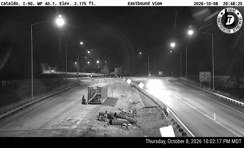
Photo from
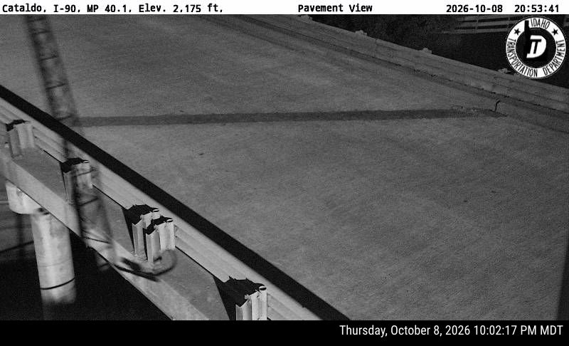
Photo from
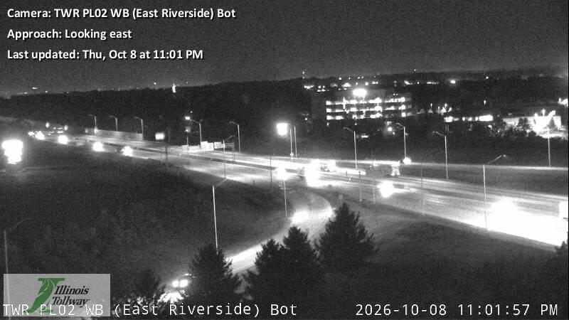
Photo from
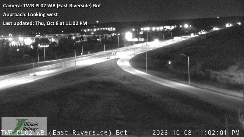
Photo from
The same live radar and road-surface data as this map, on your phone and on Apple CarPlay or Android Auto.

Weather Navigation carries the same radar and road-surface data on Apple CarPlay and Android Auto, with a weather-aware route planner, storm-cell tracking and radar that refreshes every two minutes over the US.