
The app this map came from
Weather Navigation carries the same radar and road-surface data on Apple CarPlay and Android Auto, with a weather-aware route planner, storm-cell tracking and radar that refreshes every two minutes over the US.




Scan to install Weather Navigation
I-94 Interstate Road Conditions
Radar, DOT cameras and live pavement conditions along I-94 from Montana to Michigan — plus closures, road work and the drive broken down into 7 state-by-state stretches.
Updated Oct 9, 2026 3:14 AM UTC · 7 states · Mostly dry, damp in places
Lowest 47°F near South Bend, Indiana · Highest wind 17 mph near Billings, Montana
Use Weather Navigation for your next Road Trip
Interstate 94 (I-94) runs from Lockwood, Montana, just east of Billings, to the Great Lakes region at Port Huron, Michigan, serving as a key east–west and northwest–southeast corridor across the northern United States. It passes through important cities such as Fargo, Minneapolis–Saint Paul, Madison, Milwaukee, and Detroit. Route 94 crosses the northern tier, and the bulletins on this page spell it I94.
Weather data from Oct 9, 2026 3:14 AM UTC
Dry
Dry
Dry
Dry
Official Illinois road conditions (Getting Around Illinois) ↗
Measured state by state, I-94 runs 1,604 miles west to east from Lockwood, Montana to Port Huron, Michigan, crossing 7 states. Its longest stretch is 351 miles across North Dakota; its shortest is 46 miles in Indiana.
| State | Miles | Share | Cities and mile markers |
|---|---|---|---|
| Montana | 249 | 16% | Billings 0 |
| North Dakota | 351 | 22% | Dickinson 61 · Bismarck 158 · Fargo 350 |
| Minnesota | 259 | 16% | Saint Cloud 171 · Minneapolis 231 · Saint Paul 243 |
| Wisconsin | 347 | 22% | Eau Claire 65 · Madison 238 · Milwaukee 309 |
| Illinois | 77 | 5% | Chicago 51 |
| Indiana | 46 | 3% | — |
| Michigan | 275 | 17% | Detroit 214 |
Mile markers count from each state's western line and start again at the next one, which is how most states number their exits as well. They are measured along the same road geometry these pages draw, so they land within a mile or two of the posted markers. A toll road that runs its own continuous numbering is the exception — on the New York Thruway the posts continue from New York City — and there the figure is how far into the state the place is rather than the number on the sign. Distances are measured state by state, never across a gap.
30 current reports along the route, including 4 full closures. The 8 most serious are listed below. Always check with the responsible state DOT before setting off.
Incident due to incident.
System Interchange Full Closure on I-94 EB at I-94 EB TO WIS 175 NB (W-N STADIUM). Daily from 10/05/2026 to 10/09/2026, 10:00 PM - 05:00 AM, M, T, W, Th, F. Detour: SB I-41 EXIT TO EB W. BLUEMOUND RD TO EB W. WISCONSIN AVE TO SB 35TH ST TO EB I-94
System Interchange Full Closure on I-94 EB at I-94 EB TO WIS 175 SB (W-S STADIUM). Daily from 10/05/2026 to 10/09/2026, 10:00 PM - 05:00 AM, M, T, W, Th, F. Detour: NB I-41/45 EXIT TO EB W. GREENFIELD AVE TO EB W. NATIONAL AVE TO NB STH 175/BREWERS BLVD TO EB I-94
Mainline Full Closure on I-94 EB from WIS 181/ 84th ST (BRIDGE CROSSING) to WIS 175 SB (BRIDGE CROSSING). Daily from 10/05/2026 to 10/09/2026, 10:00 PM - 05:00 AM, M, T, W, Th, F. Detour: EB I-94 EXIT TO SB S. 84TH ST TO EB W. GREENFIELD AVE TO EB W. NATIONAL AVE TO NB STH175/ BREWERS BLVD TO EB I-94
Ramp Full Closure on I-94 WB at OFF RAMP TO HAWLEY RD. Detour: WB I-94 Exit to NB STH 175 Exit to EB Wisconsin Ave to SB/WB Bluemound Rd to Hawley Rd
Ramp Full Closure on I-94 EB at ON RAMP FROM WIS 181 / S 84TH ST. Daily from 10/05/2026 to 10/09/2026, 09:30 PM - 05:30 AM, M, T, W, Th, F
Winter reporting is off for the season. The state DOT feeds this page reads for North Dakota, Minnesota, Wisconsin and Illinois run from October 15 to April 15; outside that window they change only as needed. Our own forecast below runs year-round.
Reports for North Dakota, Minnesota, Wisconsin and Illinois come from each state's DOT, entered by maintenance staff and describing what is on the pavement, not the forecast; the state pages carry each DOT's terms and notices. No DOT winter report is read here yet for Montana, Indiana and Michigan. Always check with the responsible state DOT before setting off.
Summaries fetched Oct 8, 2026 7:02 AM CDT
Summaries fetched Oct 8, 2026 12:02 PM UTC
Summaries fetched Oct 8, 2026 12:04 PM UTC
Summaries fetched Oct 8, 2026 7:04 AM CDT
Summaries fetched Oct 8, 2026 6:04 AM MDT
Summaries fetched Oct 8, 2026 12:05 PM UTC
Summaries fetched Oct 8, 2026 7:08 AM CDT
Photo from
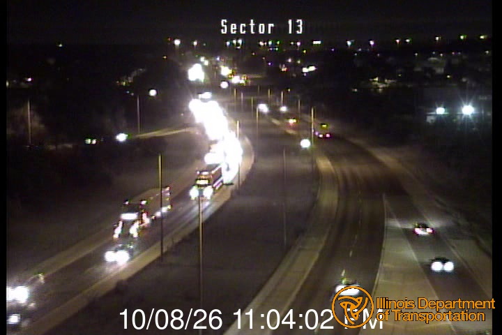
Photo from
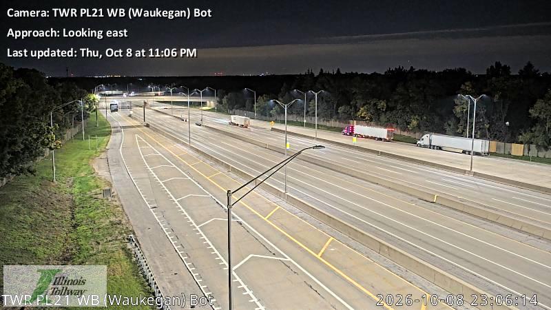
Photo from
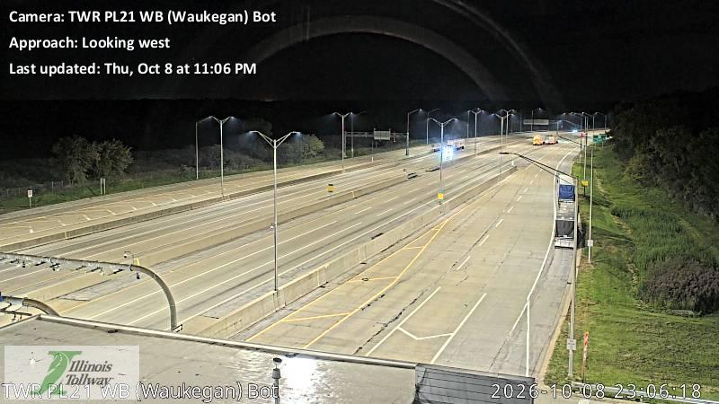
Photo from
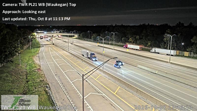
Photo from
Photo from
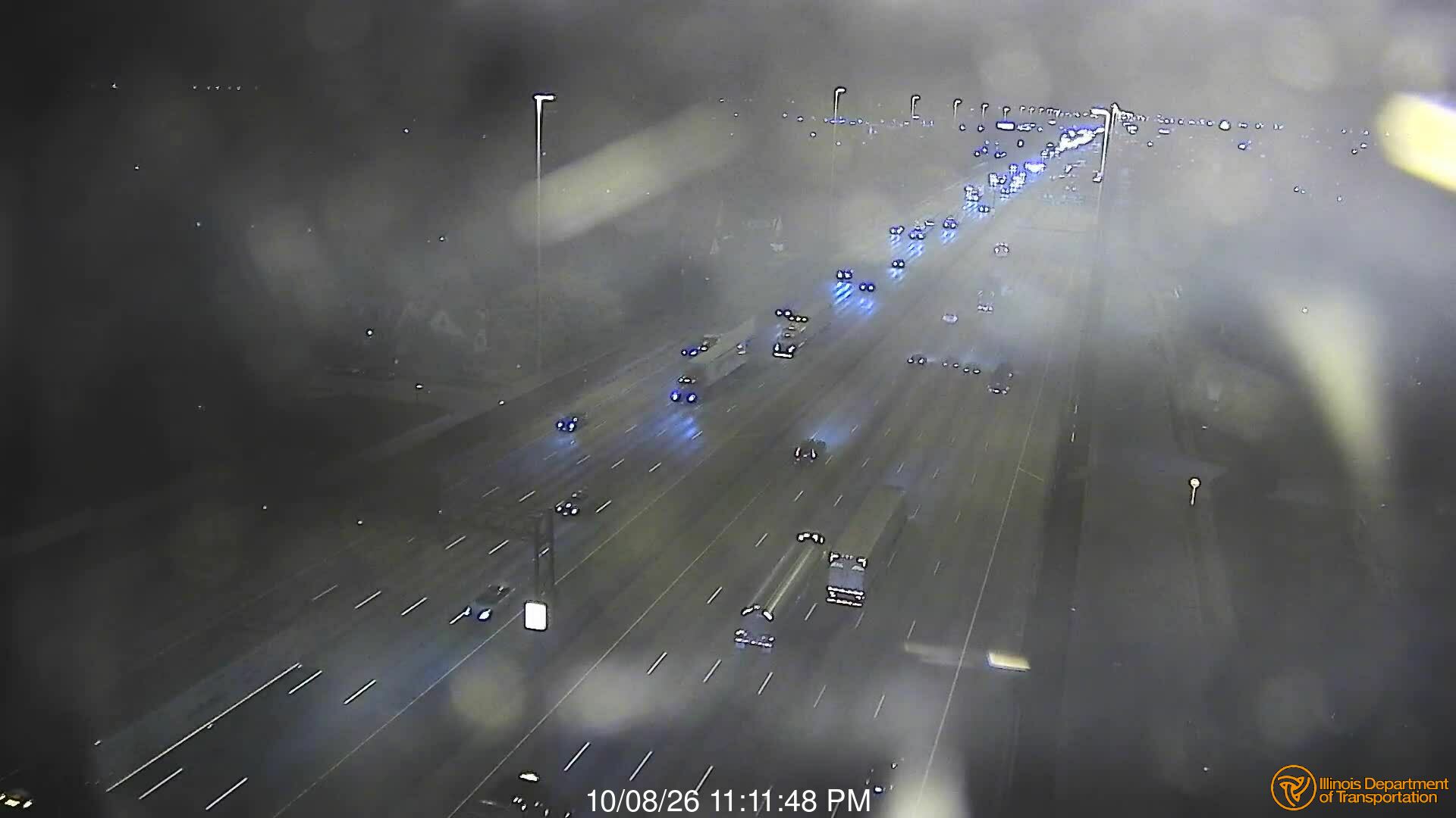
The same live radar and road-surface data as this map, on your phone and on Apple CarPlay or Android Auto.

Weather Navigation carries the same radar and road-surface data on Apple CarPlay and Android Auto, with a weather-aware route planner, storm-cell tracking and radar that refreshes every two minutes over the US.