
The app this map came from
Weather Navigation carries the same radar and road-surface data on Apple CarPlay and Android Auto, with a weather-aware route planner, storm-cell tracking and radar that refreshes every two minutes over the US.




Scan to install Weather Navigation
Radar, DOT cameras and live pavement conditions on the 308 miles of I-5 in Oregon — plus closures, road work and city-by-city weather across the state.
Updated Oct 9, 2026 1:48 AM UTC · Mostly dry
Lowest 77°F near Eugene, Oregon · Highest wind 12 mph near Medford, Oregon
Use Weather Navigation for your next Road Trip
I-5 runs 308 miles across Oregon. It passes Medford, Portland and Eugene. The high crossing on this stretch is Siskiyou Summit at 4,310 ft, which is where winter closes it first.
Weather data from Oct 9, 2026 1:48 AM UTC
Dry
I-5 crosses 308 miles of Oregon, between the California line and the Washington line. That is 22% of I-5's 1,381 miles.
Inside Oregon it meets I-84 West at Portland.
By mile marker, I-5 passes Medford 29 · Eugene 193 · Salem 255 · Portland 301.
It carries Siskiyou Summit at 4,310 ft, where the weather at the summit is not the weather on the approach.
No full closures are reported on I-5 in Oregon as of Oct 9, 2026 1:48 AM UTC, and no lane closures or roadworks either. Always check with the responsible state DOT before setting off.
| Place | Snow a year | Snow days | Freezing nights | Freeze–thaw days | First freeze | Last freeze | Days over 90°F |
|---|---|---|---|---|---|---|---|
| Medford | 4.1" | 5.1 | 55.1 | 54.5 | Oct 28 | Apr 13 | 53.9 |
| Portland | 4.3" | 4.4 | 29.6 | 27.8 | Nov 17 | Mar 16 | 12 |
| Eugene | 4.9" | 3 | 50.8 | 48.8 | Oct 22 | Apr 18 | 14 |
NOAA 1991–2020 Climate Normals, from 3 weather stations in Oregon. A dash is a figure that station does not report, not a zero.
Every figure above is a town or a city. The summits are a different climate: Siskiyou Summit has its own page with the readings at the top and a six-day summit forecast.
From Ashland to Portland, with the position of each town measured along this stretch itself — counted from the Ashland end, not from a state milepost, so it will not match the numbers on the signs.
Places from the US Census Gazetteer and population estimates, both public domain; distances measured along this page's own route geometry.
Oregon posts a snow zone sign and the words on it are the requirement. Most of them ask a car to carry chains or traction tires rather than to fit them, which is why a driver can be legal on bare tires and still be fined for having nothing in the trunk.
A traction tire in Oregon is a studded tire, a retractable studded tire, or a tire carrying the three-peak mountain-snowflake emblem for severe snow service. A mud and snow (M+S) marking is not enough on its own — which is the trap if you have driven Colorado or Washington on the same set. Where chains are required on a car, they go on one tire on each side of the primary drive axle: the front tires on a front-wheel drive, the rear on a rear-wheel drive.
Non-compliance is a Class C traffic infraction.
Studded tires are legal in Oregon only from November 1 through March 31, and driving on them outside those dates carries a fine of nearly $200. Inside the season they do count as a traction tire. Oregon is the strict state on the other half of that list: Colorado and Washington both accept a plain mud and snow marking, and Oregon does not.
Commercial vehicles are held to the higher standard: failing to carry and use chains is a Class A traffic violation, not a Class C, and the towing exception that lets a car use traction tires does not apply.
Chain and traction tire requirements are ODOT's to post and they change with the storm. This page does not carry them — TripCheck ↗ is the authority before you set off.
Source: ODOT, checked August 26, 2026.
Summaries fetched Oct 8, 2026 12:06 PM UTC
Photo from — last answered 8 hours ago, so this is the last frame we have
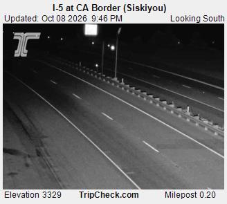
Photo from — last answered 8 hours ago, so this is the last frame we have
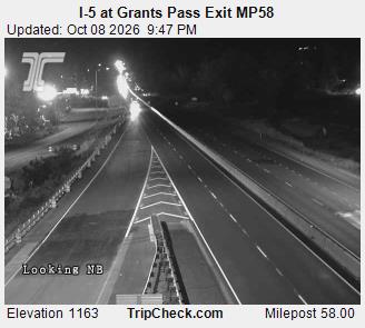
Photo from — last answered 8 hours ago, so this is the last frame we have
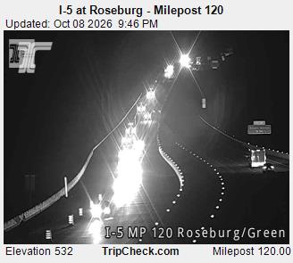
Photo from — last answered 8 hours ago, so this is the last frame we have
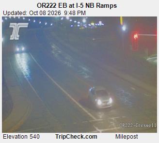
Photo from — last answered 8 hours ago, so this is the last frame we have
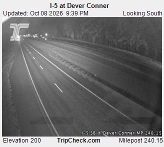
Photo from — last answered 8 hours ago, so this is the last frame we have
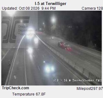
The same live radar and road-surface data as this map, on your phone and on Apple CarPlay or Android Auto.

Weather Navigation carries the same radar and road-surface data on Apple CarPlay and Android Auto, with a weather-aware route planner, storm-cell tracking and radar that refreshes every two minutes over the US.