
The app this map came from
Weather Navigation carries the same radar and road-surface data on Apple CarPlay and Android Auto, with a weather-aware route planner, storm-cell tracking and radar that refreshes every two minutes over the US.




Scan to install Weather Navigation
Radar and live pavement conditions on the 82 miles of I-76 East in Ohio — plus closures, road work and city-by-city weather across the state.
Updated Oct 17, 2026 2:50 AM EDT · Mostly dry, wet in places
Lowest 46°F near Akron, Ohio · Highest wind 13 mph near Akron, Ohio
Use Weather Navigation for your next Road Trip
I-76 runs 82 miles across Ohio. It passes Akron.
Weather data from Oct 17, 2026 2:50 AM EDT
I-76 East crosses 82 miles of Ohio, from the Pennsylvania line to its end in the state. That is 19% of I-76 East's 435 miles.
Inside Ohio it meets I-71, I-77 and I-80 at Akron.
By mile marker, I-76 East passes Akron 23. It is the only city on this stretch that the mileposts name.
No full closures are reported on I-76 East in Ohio as of Oct 17, 2026 2:50 AM EDT, and no lane closures or roadworks either. Always check with the responsible state DOT before setting off.
From Creston to New Middletown, with the position of each town measured along this stretch itself — counted from the Creston end, not from a state milepost, so it will not match the numbers on the signs.
Places from the US Census Gazetteer and population estimates, both public domain; distances measured along this page's own route geometry.
Summaries fetched Oct 16, 2026 8:06 AM EDT
The same live radar and road-surface data as this map, on your phone and on Apple CarPlay or Android Auto.
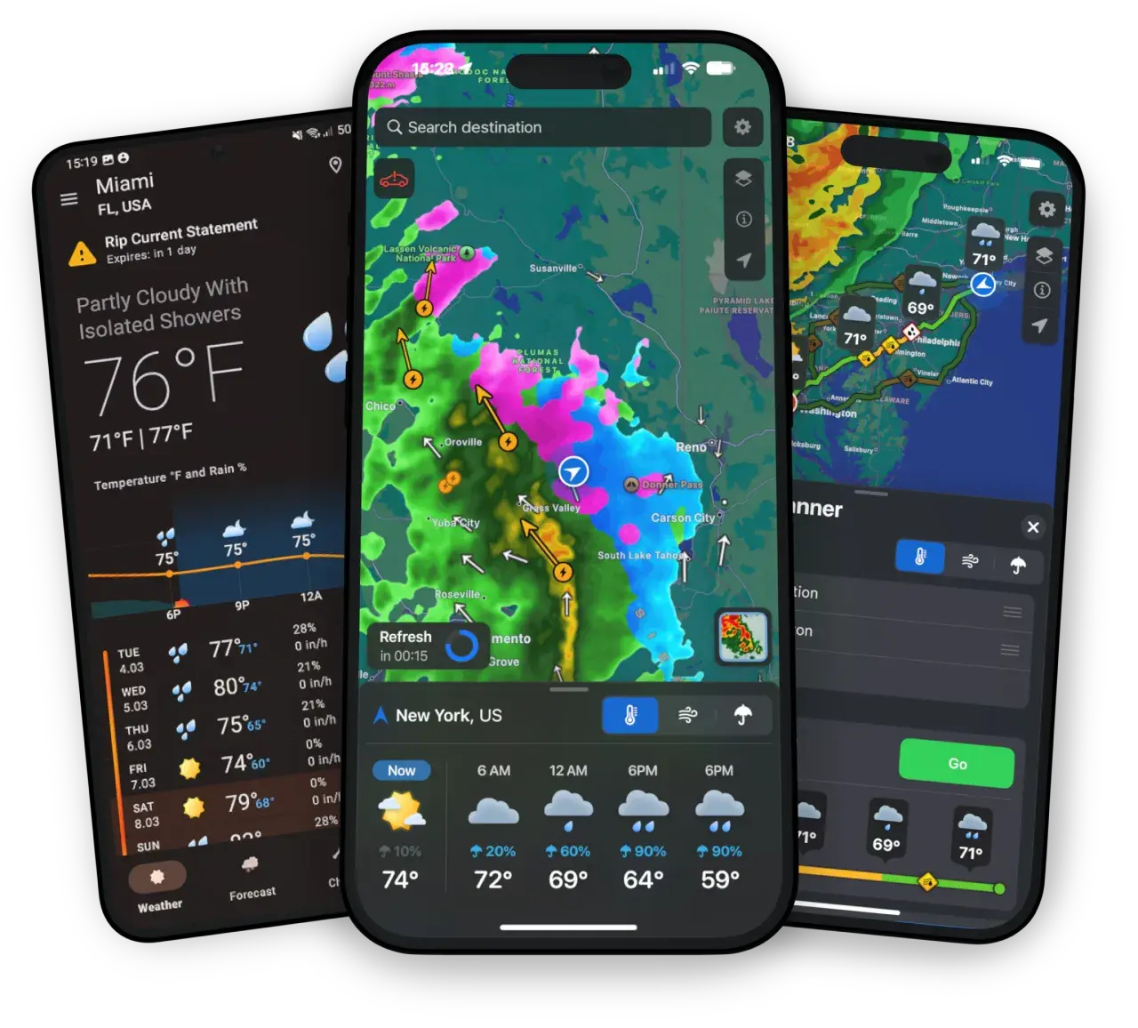
Weather Navigation carries the same radar and road-surface data on Apple CarPlay and Android Auto, with a weather-aware route planner, storm-cell tracking and radar that refreshes every two minutes over the US.