




Donner Pass (Donner Summit, I-80) Cameras
11 live Caltrans cameras on Donner Pass (Donner Summit, I-80) at 7,239 ft, each with the time its frame was taken. The pass conditions page carries the radar, the closures and the six-day summit forecast.
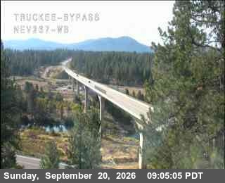
Hwy 267 at Truckee Bypass
Photo from — last answered 2 hours ago, so this is the last frame we have
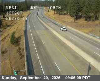
Hwy 80 at 267, Truckee
Photo from — last answered 2 hours ago, so this is the last frame we have
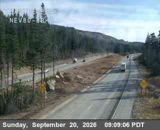
Hwy 80 at Castle Peak, Soda Springs
Photo from — last answered 2 hours ago, so this is the last frame we have
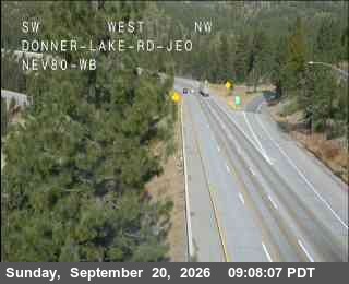
Hwy 80 at Donner Lake, Truckee
Photo from — last answered 2 hours ago, so this is the last frame we have
Hwy 80 at Donner Summit, Soda Springs
Photo from — last answered 2 hours ago, so this is the last frame we have
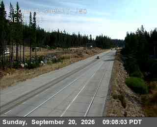
Hwy 80 at Hwy 89, Truckee
Photo from — last answered 2 hours ago, so this is the last frame we have
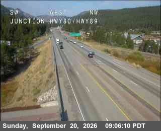
Hwy 80 at Kingvale EB 1, Soda Springs
Photo from — last answered 2 hours ago, so this is the last frame we have
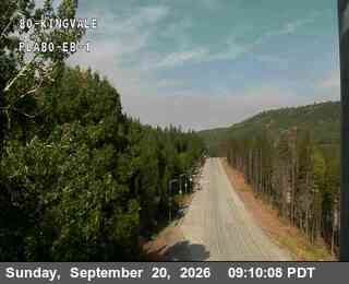
Hwy 80 at Kingvale EB 2, Soda Springs
Photo from — last answered 2 hours ago, so this is the last frame we have
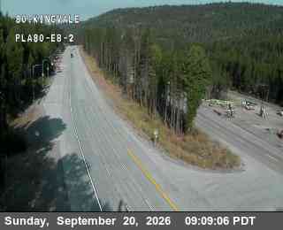
Hwy 80 at Kingvale WB, Soda Springs
Photo from — last answered 2 hours ago, so this is the last frame we have
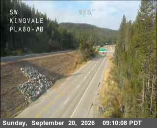
Hwy 80 at Soda Springs EB
Photo from — last answered 2 hours ago, so this is the last frame we have
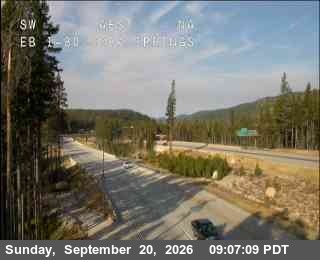
Hwy 80 at Old Ag Sta, Truckee
Photo from — last answered 2 hours ago, so this is the last frame we have
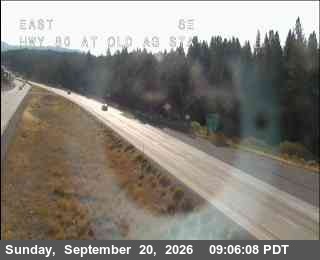
Where these come from
The frames are the Caltrans's, fetched a few minutes at a time and served from this page. A camera that stops answering keeps its last frame here, labelled with its age, rather than disappearing — a blank space tells a driver nothing, and an unlabelled old photograph tells them something false.
For what the road is actually doing — closures, chain restrictions, the surface and the summit forecast — the Donner Pass (Donner Summit, I-80) conditions page is the one to open.