
The app this map came from
Weather Navigation carries the same radar and road-surface data on Apple CarPlay and Android Auto, with a weather-aware route planner, storm-cell tracking and radar that refreshes every two minutes over the US.



Scan to install Weather Navigation
Portage County Road Conditions

Radar and live pavement conditions on I-76 and I-80 in Portage County — plus what each snow emergency level means here and who declares it.
Updated Nov 5, 2026 3:03 AM EST · Mostly wet
Lowest 62°F near Akron, Ohio · Highest wind 9 mph near Akron, Ohio
Use Weather Navigation for your next Road Trip
Two interstates cross Portage County, Ohio: I-76 and I-80. This page covers the 41 miles of them inside the county line.
Weather data from Nov 5, 2026 3:03 AM EST
Wet
No full closures are reported on Portage County as of Nov 5, 2026 3:03 AM EST, and no lane closures or roadworks either. Always check with the responsible state DOT before setting off.
Ohio law puts the declaration in the hands of each county sheriff, who may declare a snow emergency and temporarily close the state roads and municipal streets in the county when that is reasonably necessary to preserve the public peace. A level declared for Portage County applies to that county and stops at its line — the county next door can be at a different level, or at none. ORC § 311.07 and § 311.08
Portage County uses the three levels Ohio's sheriffs share: level 1 means the roads are hazardous and to drive very cautiously, level 2 that only those who feel it is necessary to drive should be out, and level 3 that the roads are closed to everyone but emergency personnel. The full wording of all three.
Ohio's sheriffs word the three levels alike; these are quoted from their common text. The level in force at any moment is declared and posted by the county sheriff, and this page does not carry it.
| Interstate | Miles in the county | |
|---|---|---|
| I-76 | 21.2 mi | |
| I-80 | 20.3 mi |
The full length of each through Ohio: I-76 East in Ohio, I-80 in Ohio.
Portage County shares a line with 3 counties. Each one decides its own winter road policy separately, so crossing any of these lines can mean crossing into a different answer — or into a county that does not declare at all.
No weather station in this county reports long-term normals. The nearest that does is Cleveland's, 34 miles north-west, close enough to be a fair guide to the season here. Its own figures are on the Cleveland page.
Summaries fetched Nov 4, 2026 7:07 AM EST
The same live radar and road-surface data as this map, on your phone and on Apple CarPlay or Android Auto.
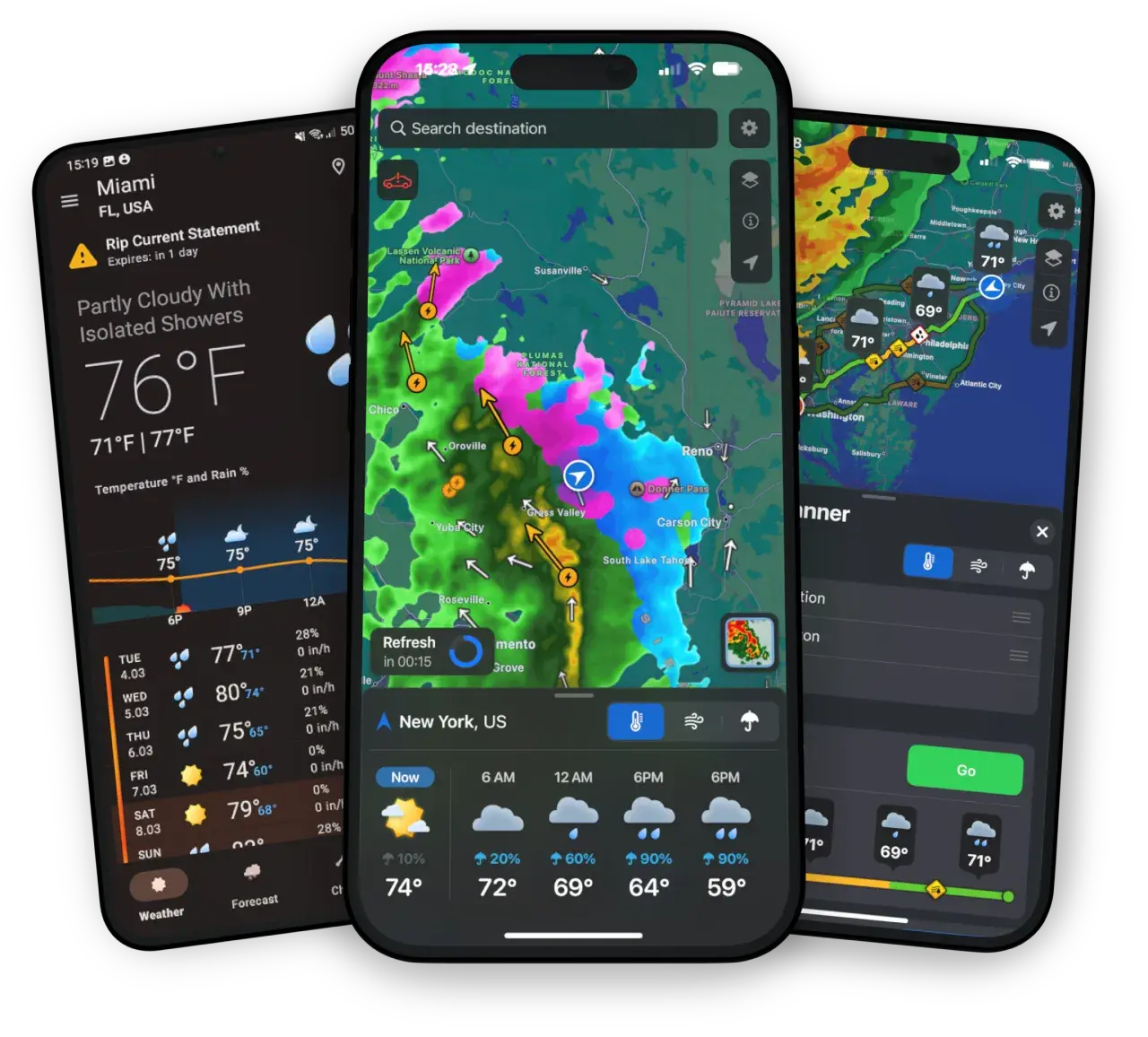
Weather Navigation carries the same radar and road-surface data on Apple CarPlay and Android Auto, with a weather-aware route planner, storm-cell tracking and radar that refreshes every two minutes over the US.